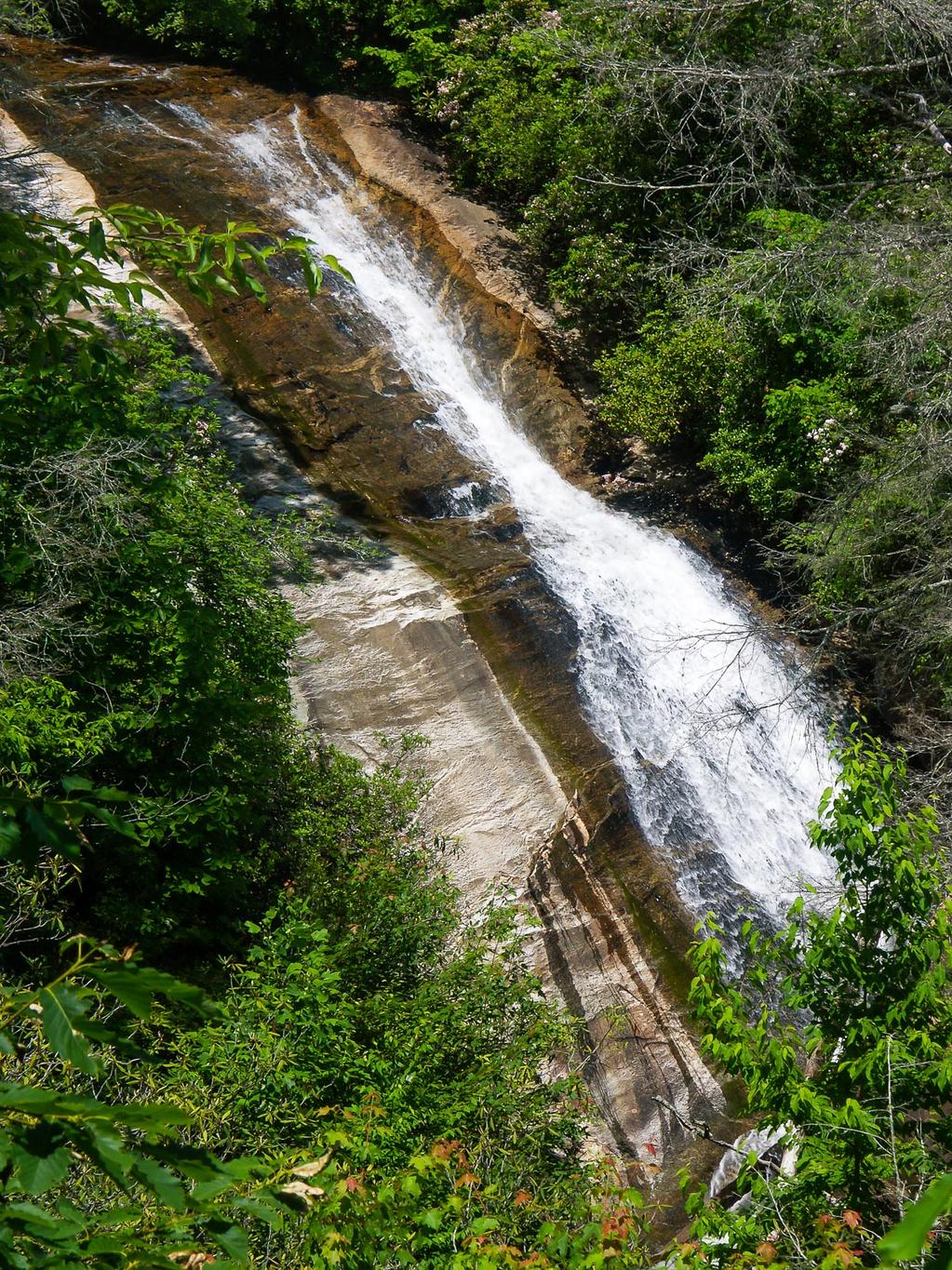
Upper Bearwallow Falls

This is a long slide in two main parts. Only the lower part is visible from the overlook constructed by the park. It's a pretty nice falls, and the view from the overlook isn't bad - however, the cluster of dead hemlocks in the foreground detracts from it some. Hopefully these are gone soon.
Statistics
- Height: Maybe 50 ft, much longer than high
- Elevation: 2800 ft
- Stream: Bearwallow Creek
- Landowner: Gorges State Park
- GPS: 35.102517, -82.943032
Map
Driving Directions
From downtown Brevard, it is just over 18 miles on US 64 West to the intersection with NC Hwy 281 South - turn left. From Highlands, it's just over 20 miles on US 64 East, thru Cashiers, to NC 281 South - turn right. Go 0.9 miles South on NC 281 from US 64 to the park entrance road on the left. It's less than a mile to a left turn for the loop road and picnic shelters - turn there. The picnic shelters are just ahead on the right, down the hill - park at the second picnic shelter (or the first one for a slightly longer hike).
Trail Description
The trail is just over 1/2 mile round-trip and moderate, with a smooth surface and a moderate climb. Start just across the parking area from the picnic shelter. It descends some rock steps, crosses the road, and then goes downhill through 5 switchbacks in a nice forest to the falls.